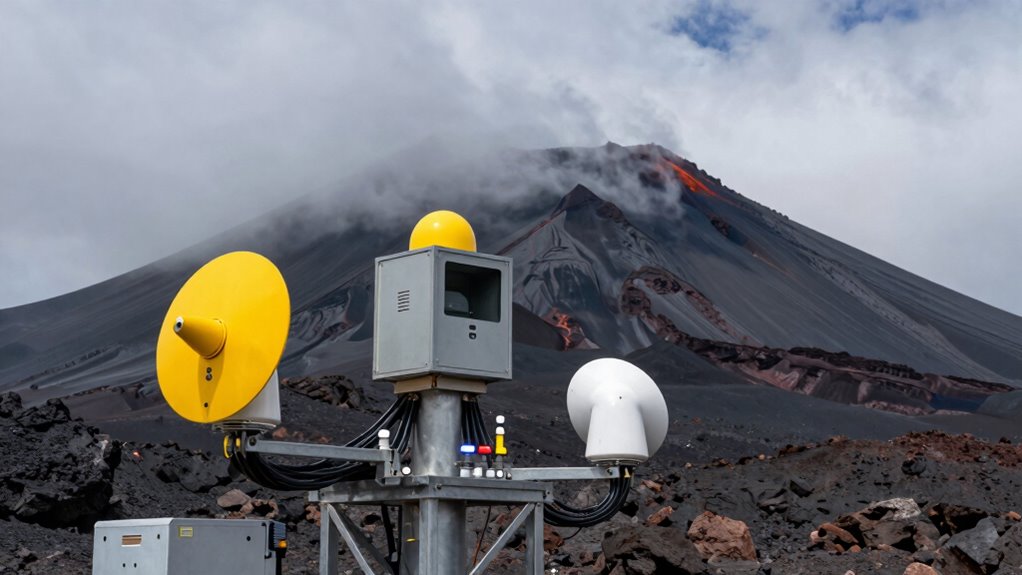

Advanced volcano monitoring tools help you buy essential time by detecting early signs of eruptions. Seismic sensors, ground deformation measurements, and thermal imaging catch magma movement and ground shifts before an eruption starts. Gas sensors track increasing volcanic gases, providing more warning. Satellite imagery and ash cloud tracking help you assess hazards from afar. These technologies work together to give authorities and communities critical moments to prepare and evacuate. Continuing this exploration reveals even more about protecting yourself from volcano threats.

Get the latest gadgets delivered free — and shop member deals
- Fast, free delivery on millions of items
- Access to Prime Big Deal Days deals on October 6–7
- Prime Video, Amazon Music and more included
Key Takeaways
- Seismic and ground deformation monitoring detect early signs of magma movement, enabling timely eruption warnings.
- Thermal imaging and gas sensors identify hotspots and increased volcanic gases to forecast eruptions more accurately.
- Satellite tracking of ash clouds helps reroute flights and issue health advisories, reducing hazards.
- Lava flow prediction tools visualize potential paths and speeds, guiding evacuations before eruptions occur.
- Combining multiple sensors improves prediction reliability, providing crucial extra time for emergency responses.
Volcano monitoring tools are essential for detecting signs of eruption and ensuring the safety of nearby communities. When a volcano shows signs of unrest, these tools allow scientists to predict potential hazards, giving people important time to evacuate or prepare. One of the most critical functions is lava flow prediction. By analyzing seismic activity, ground deformation, and thermal imaging, monitoring systems can estimate where and how fast lava might travel during an eruption. This information helps authorities determine which areas are at greatest risk, enabling timely evacuations and land-use planning. You might not see the lava flowing immediately, but these tools give you a clear picture of the eruption’s possible path, reducing panic and confusion.
Volcano monitoring tools predict lava flows, helping communities evacuate and stay safe during eruptions.
Another essential aspect of volcanic monitoring is ash cloud tracking. During an eruption, ash clouds can spread rapidly across vast regions, disrupting air travel and impacting health. Using satellite imagery, Doppler radar, and ground-based sensors, scientists track the movement, altitude, and density of ash clouds in real time. This data informs airlines and emergency services to make critical decisions, such as rerouting flights or issuing health advisories. You benefit directly from this by experiencing fewer delays and exposure to hazardous ash, especially if you’re in an area prone to airborne ash fallout. Continuous advancements in remote sensing technology have further enhanced the precision of ash cloud detection and tracking. Additionally, the integration of real-time data analysis plays a vital role in providing timely and accurate forecasts.
Seismic monitoring plays a foundational role in this entire process. Sensitive seismometers detect tiny tremors and shifts deep underground, often the first signs that magma is moving toward the surface. When combined with other data, these signals help predict eruptions more accurately, giving you and your community precious extra hours to prepare. Ground deformation instruments, like tiltmeters and GPS stations, measure the swelling or shifting of a volcano’s surface—another early warning sign. When these instruments detect changes, authorities can issue alerts before an eruption even begins. Additionally, advances in data analysis have significantly improved the reliability of these predictions, providing more confidence in early warnings. Emerging technologies, such as machine learning algorithms, are further enhancing the effectiveness of these monitoring systems.
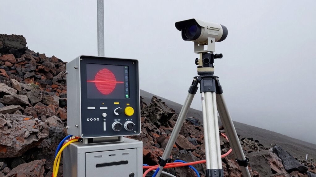
Thermal cameras and gas sensors further enhance monitoring efforts. Thermal imaging reveals hot spots that indicate magma movement beneath the surface, while gas sensors detect increased volcanic gases like sulfur dioxide. Together, they provide a detailed view of a volcano’s activity. Advances in projector technology and data analysis improve the accuracy of eruption forecasts, helping you act swiftly and decisively. These combined technologies enable scientists to better understand the underlying processes and anticipate eruptions more effectively. As a result, communities can implement targeted safety measures based on comprehensive and precise data.
As an affiliate, we earn on qualifying purchases.
Frequently Asked Questions
How Accurate Are Volcano Monitoring Tools in Predicting Eruptions?
You can trust volcano monitoring tools to be quite accurate in predicting eruptions, thanks to advances in volcano geology and understanding eruption patterns. These tools analyze seismic activity, gas emissions, ground deformation, and temperature changes, providing vital early warnings. While no system guarantees 100% certainty, combining multiple data sources greatly improves prediction accuracy, helping authorities and communities prepare and respond more effectively, ultimately saving lives and reducing damage.
What Are the Costs Associated With Deploying Monitoring Equipment?
You’ll find that deploying volcano monitoring equipment costs vary widely, with initial setup ranging from $10,000 to over $1 million for advanced systems. A vital part of the cost analysis involves ongoing equipment maintenance, which can add thousands annually. Factors like remote locations, specialized sensors, and data transmission all influence expenses. While costly, investing in reliable tools saves lives by providing essential early warnings and valuable time before eruptions.
How Do Monitoring Tools Operate in Remote or Hazardous Areas?
You use remote sensors to operate monitoring tools in hazardous or hard-to-reach areas, allowing continuous data collection without risking personnel safety. These sensors gather essential information like seismic activity and gas emissions. Data transmission then sends this data to a central system via wireless networks, satellites, or other secure channels. This setup guarantees real-time monitoring, timely alerts, and effective decision-making, even in the most dangerous volcanic environments.
What Training Is Required to Interpret Monitoring Data Effectively?
You need specialized training to interpret monitoring data effectively, focusing on seismic patterns and gas emissions. Understanding seismic patterns helps you recognize early signs of volcanic activity, while analyzing gas emissions reveals changes in magma movement. You should learn to operate monitoring equipment and interpret the data accurately, often through courses or field training. This knowledge allows you to identify warning signs quickly, enabling timely alerts and potentially saving lives.
How Quickly Can Monitoring Systems Detect Early Signs of an Eruption?
You can typically detect early signs of an eruption within minutes to hours using advanced monitoring systems. These tools track changes like increased seismic activity, ground deformation, and gas emissions, which often precede eruptions. Early detection helps you prepare for hazards such as volcanic ash and lava flow, giving you vital time to evacuate or implement safety measures. Continuous monitoring is essential for timely alerts and minimizing risks.
thermal imaging camera for volcano monitoring
As an affiliate, we earn on qualifying purchases.
As an affiliate, we earn on qualifying purchases.
Conclusion
As you consider the power of volcano monitoring tools, it’s striking how the smallest detail can make all the difference. Coincidentally, just as these tools detect the first signs of danger, they also remind us of nature’s unpredictable strength. By investing in these technologies, you’re not only gaining vital time but also showing that preparedness can turn uncertainty into safety. In the end, it’s this timely vigilance that truly saves lives.
As an affiliate, we earn on qualifying purchases.
As an affiliate, we earn on qualifying purchases.
Halloween Picks
halloween
As an affiliate, we earn on qualifying purchases.